Gyrillithkia Nature Trail
Gyrillithkia Nature Trail
Circular Trail
Download our App
![]()
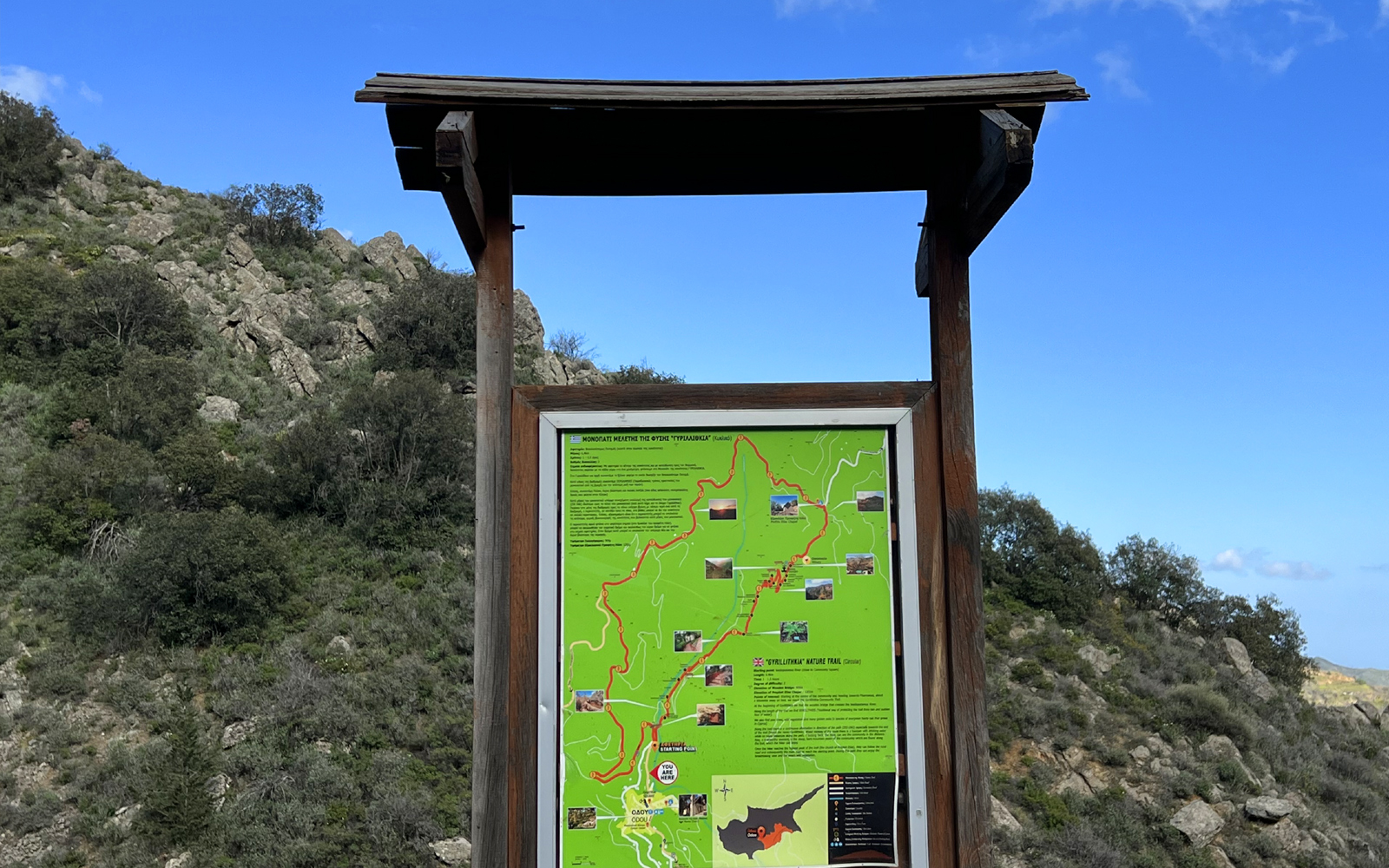
Starting point: VASILOPOTAMOS RIVER
(Near the community square)
Length: 6.4km
Time: 1 – 1.5 hours
Degree of difficulty: 2

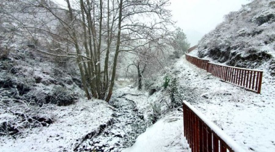
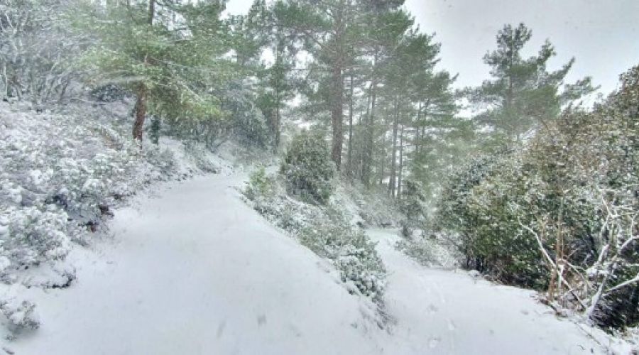
Along the path, there are XEROLITHIES (traditional means of protecting the path from rain and swift water movement).
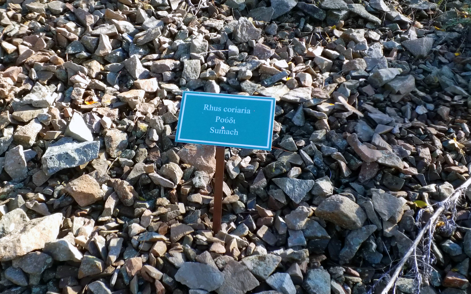
We also find pines, wild vegetation and many larches (a type of evergreen sclerophyll oak that grows in Cyprus).
We also find pines, wild vegetation and many larches (a type of evergreen sclerophyll oak that grows in Cyprus).
One kilometre of walking from the centre of the community in the direction of Farmakas brings us to the GYRILLITHKIA Path of the community.
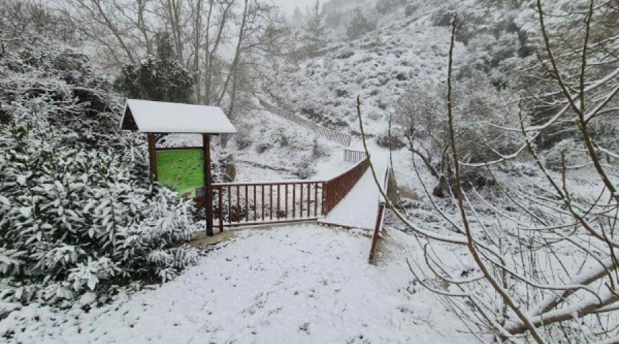
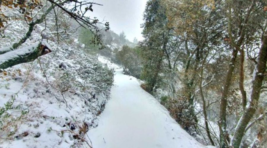
In Gyrillithkia, for starters, we come across the wooden bridge that crosses the Vassilopotamos River.
In Gyrillithkia, for starters, we come across the wooden bridge that crosses the Vassilopotamos River.

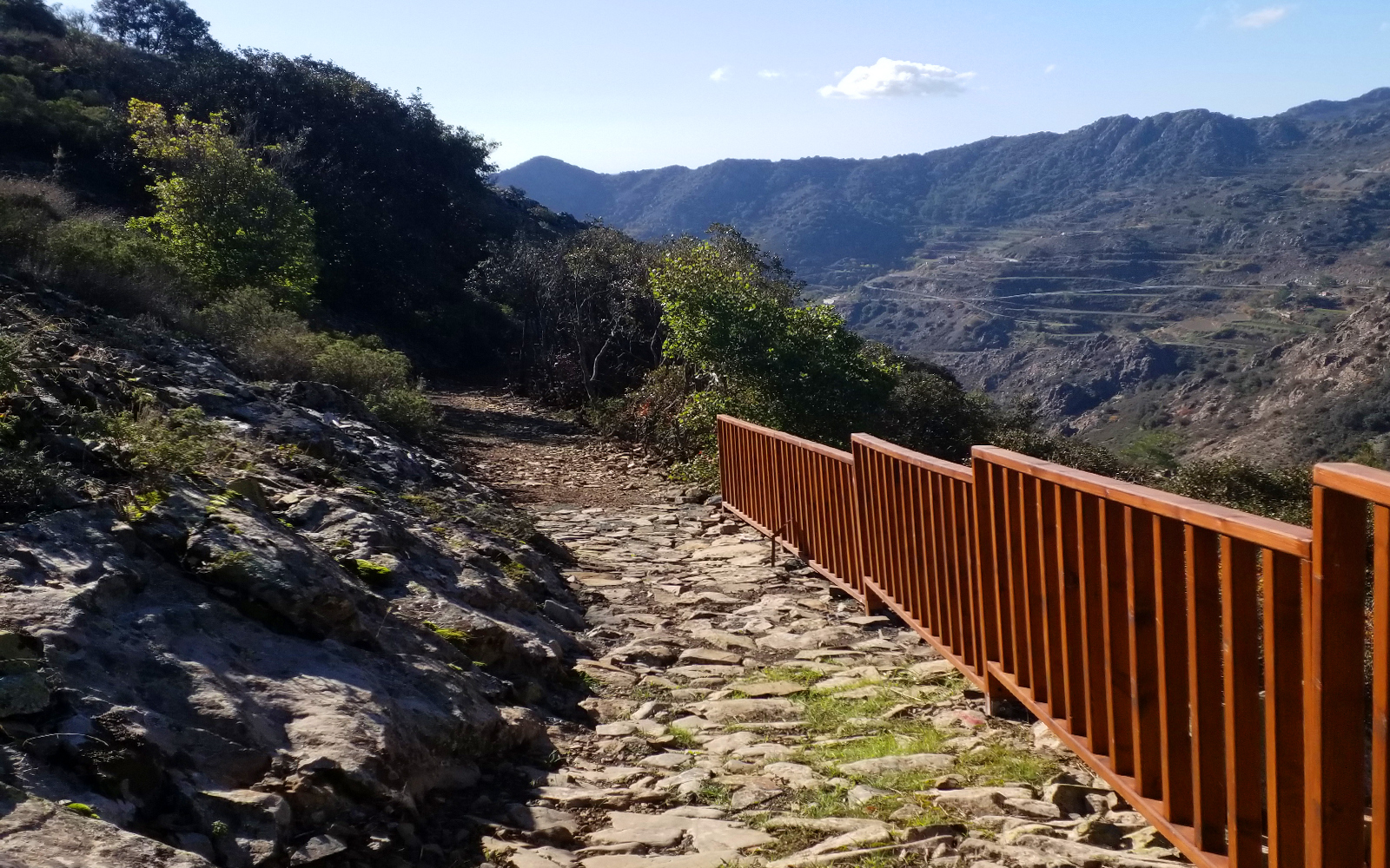
Along the path, there is a continuous change in direction (ZIK ZAK), particularly towards the conclusion of the path (hence the name Gyrilithkia).
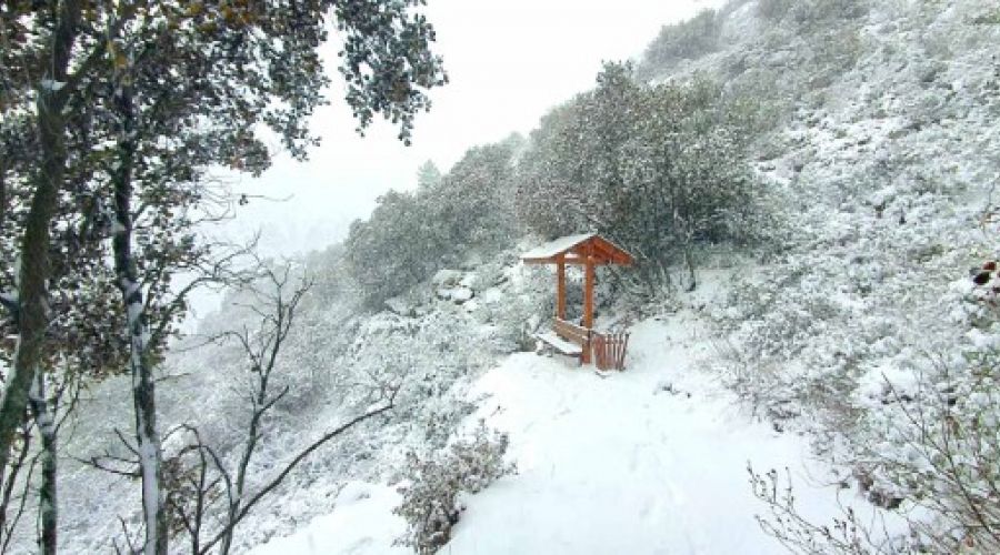
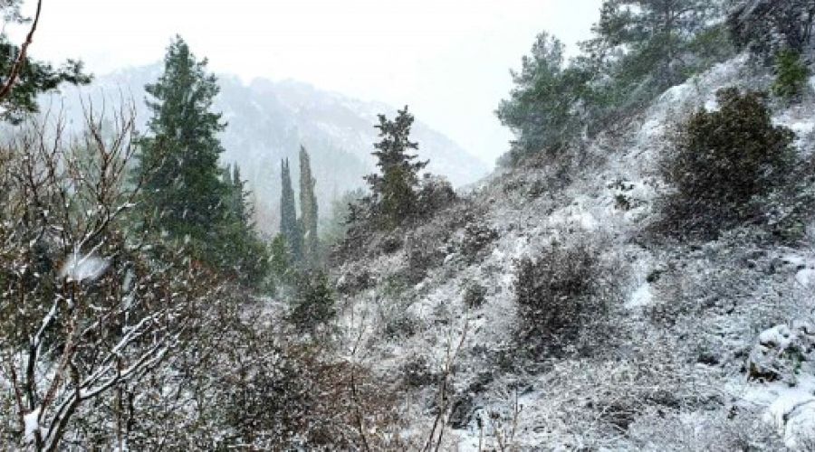
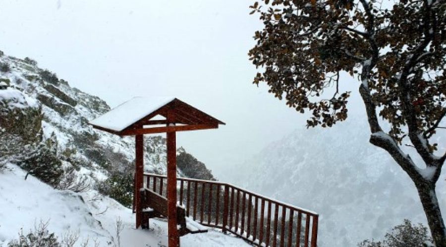
Approximately halfway up the hill is a drinking water fountain, and if the walker glances back, he can often see the community in the distance. Along the trail, walkers can also appreciate the precipitous, bare mountain peaks of the surrounding community.
Approximately halfway up the hill is a drinking water fountain, and if the walker glances back, he can often see the community in the distance. Along the trail, walkers can also appreciate the precipitous, bare mountain peaks of the surrounding community.
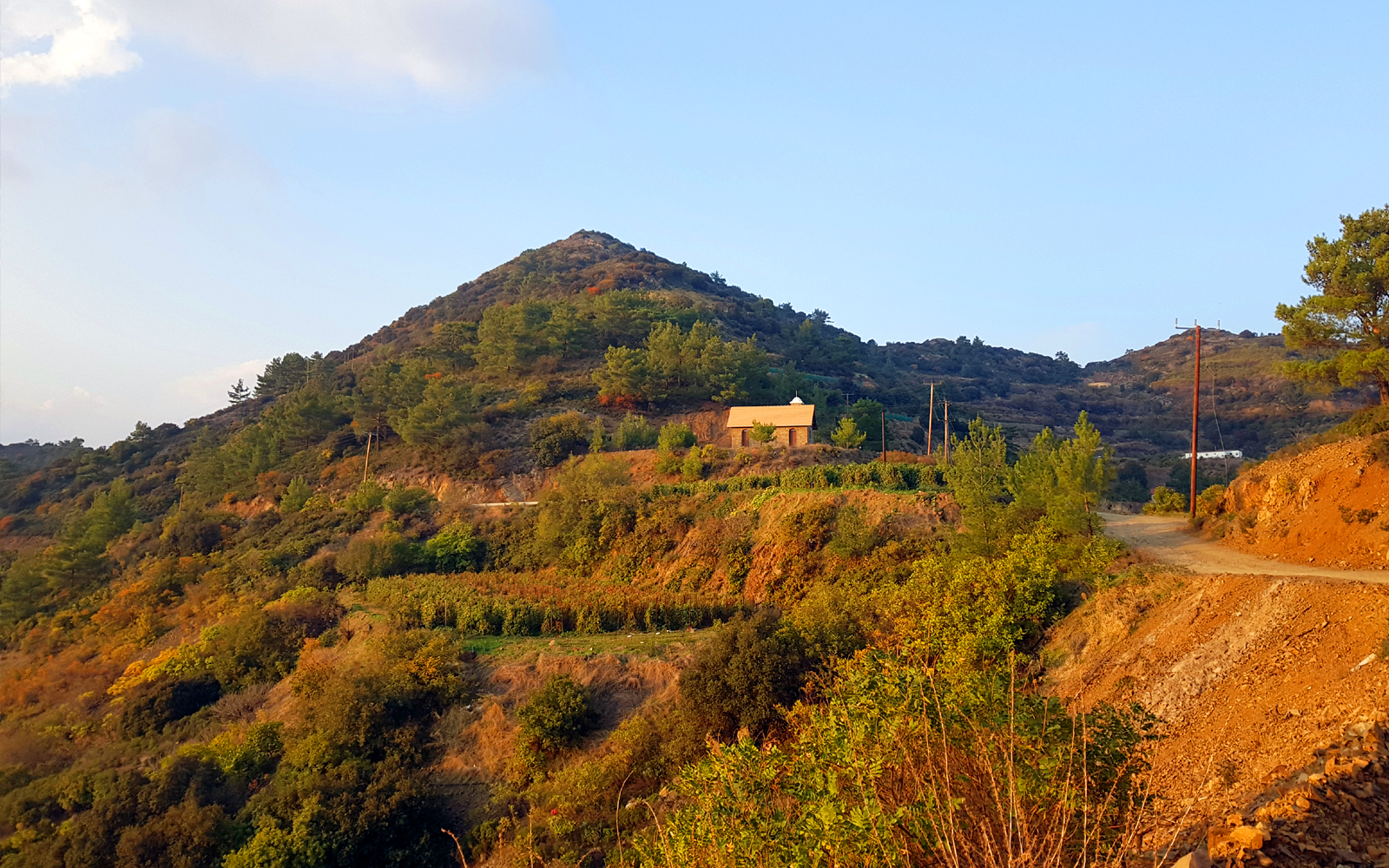
Altitude of Xylogefyra 909m
Altitude of the chapel of Prophet Ilias 1201m
-
 12-82b4aa06
 -
 11-588e5d27
 -
 10-706b6ec5
 -
 09-5f5d4709
 -
 08-bef8765b
 -
 07-45afdc16
 -
 06-20924434
 -
 05-8fd4ec52
 -
 04-eae97470
 -
 03-0a28badf
 -
 01-c0538a9b
 -
 02-6f1522fd
Discover
the spot
the spot